You can also download a hi-res copy as a pdf (6.9 mbs).
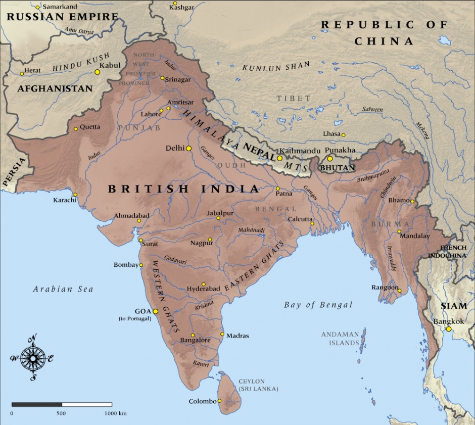
This map shows the boundaries and major cities of British India at the time it entered the First World War in 1914.
This image Appears In 1 Article:
Credit
Map produced by Geographx with research assistance from Damien Fenton and Caroline Lord.
How to cite this page
'Map of British India in 1914', URL: http://www.nzhistory.net.nz/media/photo/map-british-india-1914, (Ministry for Culture and Heritage), updated 20-Aug-2014

Community contributions